
 613-889-2580
Denholm
Home / Most Popular Neighborhoods
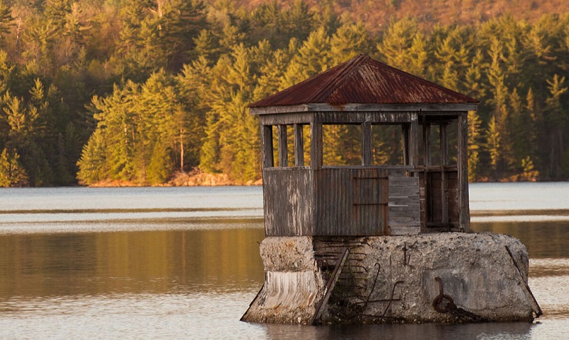
Denholm
The municipality of Denholm is located in the southeast of the territory of the MRC of La Vallée-de-la-Gatineau.
The origin of the development of Denholm, between 1851 and 1861, can be associated with the presence of asbestos, serpentine and calcite mines. Paugan Road leads to the dam of the Hydro-electric Power Station, which was built from 1926 to 1928. The municipality of Denholm has more than 50 lakes and its west side runs along the Gatineau River for approximately 15 km. The municipality is sensitive to the quality of its lakes, streams and rivers. It is a haven of peace, a hunting and fishing paradise, ideal for winter and summer hiking. Perfect for nature lovers.
Geographical references :
Denholm is located 40 km north of the City of Gatineau. Its western boundary is in Algonquin territory between Tenagaten (the river that always rises and goes far, now the Gatineau River) and to the east by the Wabozsipi (wabox means hare and sipi. river, now known as the La Lièvre River). On the left slope of the St. Lawrence basin, approximately 70 km south-southeast of Maniwaki. Regional County Municipality of La Vallée-de-la-Gatineau. Tourist region of Outaouais (sub-region of Pontiac-et-Vallée-de-la-Gatineau).
Toponymy :
The municipality, formerly a township, takes its name from a village in Scotland located northeast of Hawick in Roxburgh County. The first part of the name means "den", "dene" or "dean" (narrow wooded valley) and the second part means "holm" (lowland river):
- Gentile : Denholmien / Denholmienne
- Area : 191.65 km2
Find the property of your dreams
1 Properties in Denholm
